Tags
Rice, space agencies team up for climate-smart farming
By: Jordeene B. Lagare

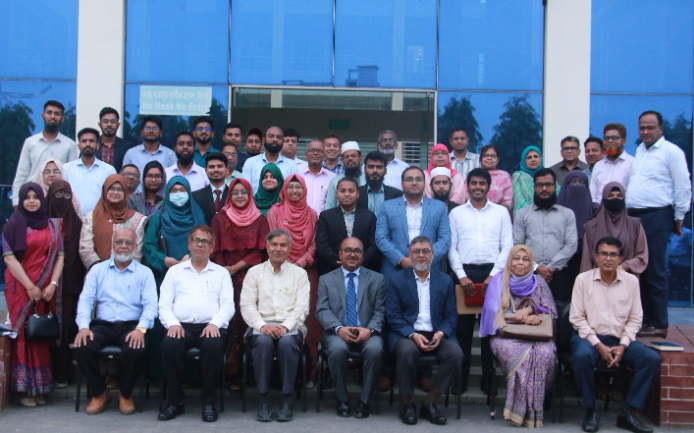
MANILA, Philippines — The Philippine Rice Research Institute (PhilRice) and the Philippine Space Agency (PhilSA) have entered into a five-year partnership to make rice farming more climate-smart.
The team-up involves operating an eddy covariance flux tower to support rice research and environmental monitoring.
“The five-year partnership includes joint research, training, and capacity-building activities to strengthen the long-term operation and use of the flux tower,” PhilRice said in a statement.
A tower was installed at PhilRice’s office in Nueva Ecija. It collates data on greenhouse gases (GHG) such as carbon dioxide and methane. It also monitors energy and water vapor exchanged between rice fields and the atmosphere.
They will incorporate satellite-derived and on-ground data to support decision-making in rice production, GHG monitoring and long-term environmental research.
“This gives us a more accurate way to monitor GHG emissions from rice fields. I believe this makes us one of the most high-tech institutions in the country,” PhilRice deputy executive director for research Eduardo Jimmy Quilang said.
“This flux tower will measure the GHG exchanges, supporting PhilRice’s PRiSM project that uses remote sensing and geographic information system technologies to monitor rice areas and assess crop production,” said Reinabelle Reyes, PhilSA-Space Science Missions Bureau Director.
Agencies’ tasks
PhilSA will take the lead in installing, calibrating and processing the data from the flux tower.
It will also conduct research that combines satellite and ground-based data. This is to gain a better understanding on how rice ecosystems interact with the environment.
PhilRice is responsible for managing the tower’s daily operations and using the data to enhance the Philippine Rice Information System (PRiSM). It is a satellite-based rice monitoring system that monitors rice areas, forecasts yields and assesses crop damage.
Data gathered by PRiSM will also be used to validate satellite images from PhilSA’s MULA (Multispectral Unit for Land Assessment) under a project called SatMAPPER-SOPRAnO. It uses space-based technologies to observe land conditions.
PhilRice said researchers can correct any errors and create more accurate maps by comparing ground and satellite observations. These can improve the planning and management of rice farming across the country.
Published Date: September 2, 2025