Tags
Timely and geo-localized RIICE production info to innovate Kenyan rice farming
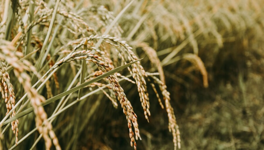
(1-5 December 2025) NAIROBI, Kenya — RIICE (Remote Sensing-based Information and Insurance for Crops in Emerging Economies) stands to innovate rice farming in Kenya by providing near-real-time, geo-localized information on rice area, yield, and climate-driven yield losses. This digital innovation is a critical tool for a country where rice is a strategic food crop, and climate shocks increasingly affect production. RIICE aims to monitor rice crops and generate production statistics in the country, offering fair and transparent data to key decision-making and policymaking bodies.
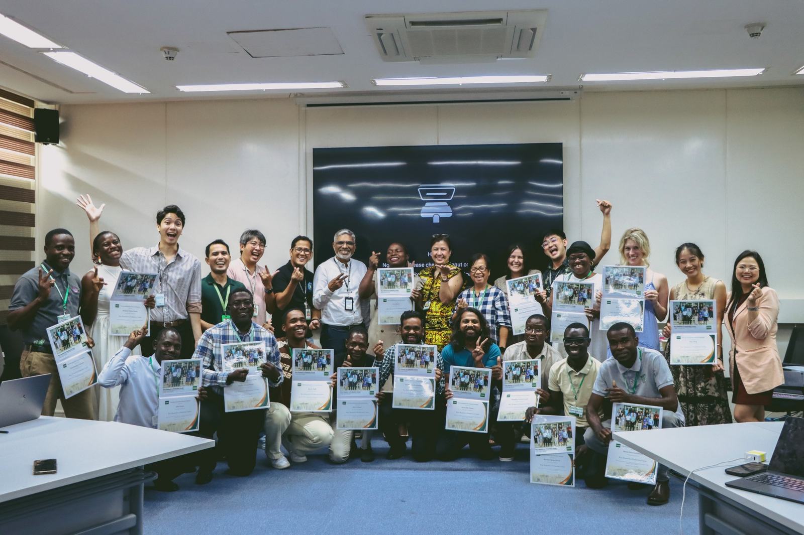
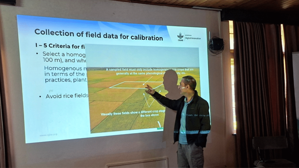
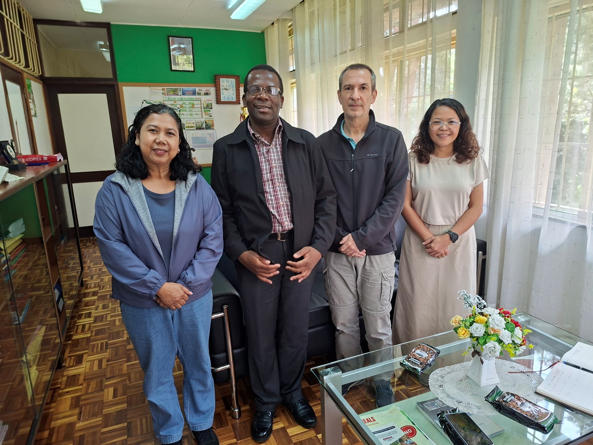
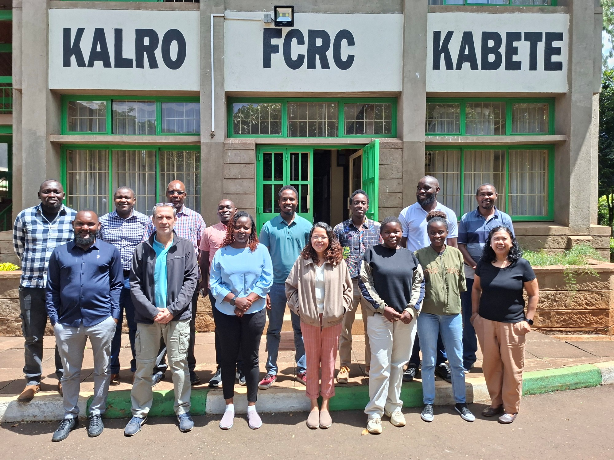
After its success in Asia’s major rice-producing countries, RIICE was piloted in Kenya from 2023 to 2024 in the Mwea Irrigation Scheme and other schemes in western Kenya as part of the CGIAR Digital Innovation Initiative. In partnership with the Kenya National Irrigation Authority (NIA), Kenya Agricultural and Livestock Research Organization (KALRO), and the Ministry of Agriculture, a training on RIICE was conducted from 1 to 5 December at the KALRO Food Crops Research Center (KALRO-FCRC) in Kabete, Kenya, to initiate technology transfer of RIICE to national institutions. The training was supported by the CGIAR Digital Transformation Accelerator and attended by geospatial and remote sensing experts from KALRO and NIA, as well as the Regional Centre for Mapping of Resources for Development (RCMRD), and Kenyan universities such as the University of Nairobi and the Jomo Kenyatta University of Agriculture and Technology.
Kenya’s rice sector faces challenges related to climate vulnerability and import dependency, making near-real-time production monitoring and risk assessment critical for policy and food security planning. “Developed in partnership with sarmap, Switzerland, RIICE aims to provide governments, insurers, and development actors with a consistent, objective view of where rice is grown, when it is grown through the season, and how much yields and potential production losses are likely to occur.”, said IRRI Senior Scientist Dr. Renaud Mathieu.
The yield estimates and forecasts integrate time-series Synthetic Aperture Radar (SAR) data with the ORYZA crop growth model in an automated workflow through the MAPscape-Rice and Rice-Yield Estimation System (Rice-YES) software packages. SAR imagery is used to map rice areas, detect planting dates, and track canopy development, generating spatially explicit indicators such as start of season and leaf area index. These indicators drive ORYZA simulations under local weather, soil, rice variety, and management conditions to produce in-season yield forecasts and end-of-season estimates at harvest. SAR also allows monitoring even under cloud cover and during monsoon seasons, overcoming a significant limitation of optical satellites in tropical rice environments.
RIICE delivers high-resolution yield estimates that can be aggregated at various administrative scales (e.g., districts or provinces for food security assessments, production statistics, and agricultural policy planning). Governments can use mid-season production forecasts and damage maps to plan imports, relief programs, or safety nets before crises fully materialize. At the same time, insurers and reinsurers can design more accurate agricultural insurance products and process claims more efficiently. Over time, this contributes to reduced vulnerability of smallholder rice farmers, more resilient rice value chains, and better targeting of public investments in climate risk management.
“RIICE is an accurate tool for yield estimation, and more specifically for estimating the yields of different rice varieties.”, shared Sammy Matara of the University of Nairobi. “The training on RIICE was timely and important because rice ranks among the top five food staples in Kenya. Therefore, information on rice yields is indispensable for the government of Kenya when it comes to food security assessment and planning for the quantities of rice to be imported to bridge the production gap in the country.”, he continued.
“In future steps the team will need to consider upscaling the technology for all irrigated schemes and rainfed rice ecosystems for ensuring national coverage, as well as initiating operationalization of the monitoring via advanced training, formalization of national institution roles, and development of field data collection, map production, dissemination and utilization processes”, stated Dr. Renaud, “Through this, we hope to contribute to Kenya’s national training programs by ensuring that RIICE feeds into policy processes by justifying sustained investment in data and human resources.”, he explained.
https://www.irri.org/news-and-events/news/timely-and-geo-localized-riice-production-info-innovate-kenyan-rice-farmingPublished Date: March 4, 2026