Tags
Reshaping Bangladesh’s agriculture
Makhan Lal Dutta
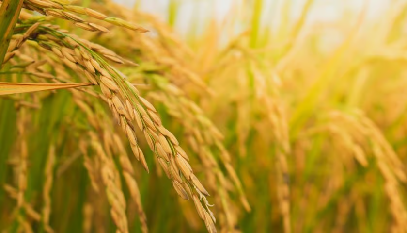
ON A winter morning in Bangladesh’s north, a rice farmer checks his mobile before switching on the irrigation pump. The message that he reads is not from a neighbour or a local trader. It is generated from satellite data orbiting hundreds of kilometres above the earth. It tells him exactly how much water his field needs. In a country where agriculture still employs nearly 40 per cent of the work force, this quiet intersection of space science and rural life is not futuristic. It is already happening.
Bangladesh’s agriculture has for long been defined by resilience. From flood-adapted floating gardens to high-yield rice varieties, innovation has always been grounded in necessity. Today, however, that innovation is increasingly being powered by space-based technologies. Satellite imagery, remote sensing and geospatial analytics are transforming how crops are monitored, how water is used and how risks are managed. What once relied on intuition is now being guided by data: precise, real-time and scalable.
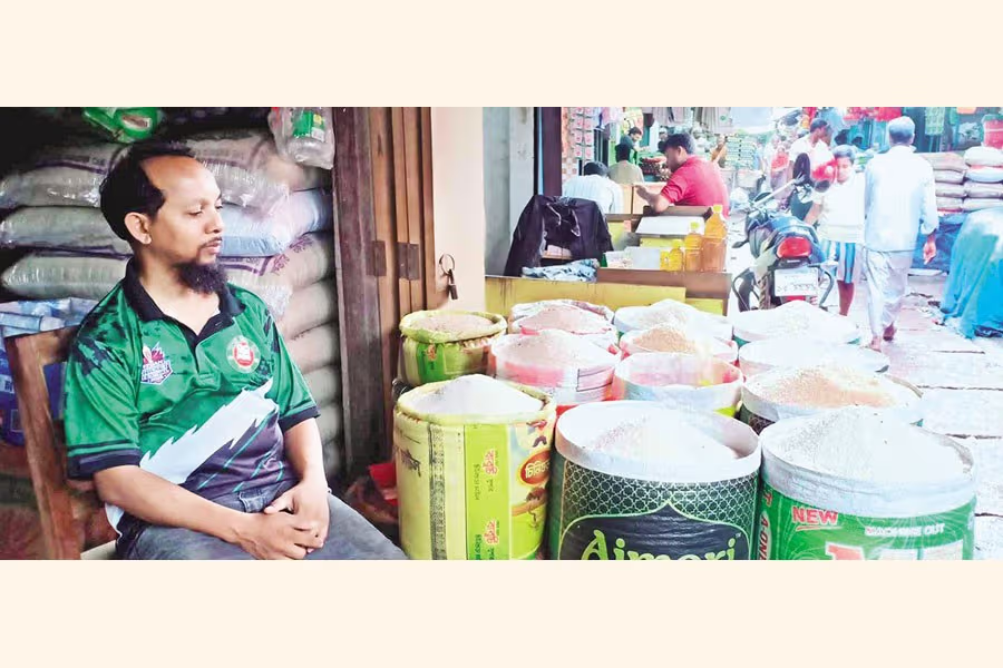
One of the most compelling examples comes from the Integrated Rice Advisory System, a collaborative initiative involving Bangladesh’s Department of Agricultural Extension and international research partners. Using data from NASA’s earth-observing satellites, the system estimates how much water rice crops have consumed and how much they actually need. Farmers receive tailored advisories via mobile messages, helping them reduce unnecessary irrigation. In a country where groundwater extraction is both costly and energy-intensive, such interventions are critical. Studies indicate that this approach can significantly cut water and fuel use while maintaining crop yields.
The implications extend far beyond individual farms. Rice cultivation in Bangladesh is heavily dependent on irrigation, particularly during the dry season. Traditionally, farmers often over-irrigate because of uncertainty, leading to waste and increased carbon emissions from diesel-powered pumps. By aligning irrigation with actual crop demand, satellite-driven advisories are not only improving efficiency but also contributing to climate mitigation. It is a rare convergence where technology supports both productivity and sustainability.
Institutionally, Bangladesh has not been a passive recipient of these advancements. The Bangladesh Space Research and Remote Sensing Organisation, established in 1968, has for long been involved in applying space science for national development. Over the decades, it has collaborated with global agencies to monitor natural resources, weather systems and disaster risks. Today, its role is expanding into agricultural intelligence, supporting crop mapping and environmental monitoring at a national scale.
Recent developments suggest that the country is moving towards a more integrated, data-driven agricultural ecosystem. New satellite-based tools developed in collaboration with international partners are enabling more accurate estimation of crop areas and production forecasts. These tools improve the alignment between field-level data and national statistics, reducing discrepancies that have historically complicated policy planning. Such capabilities are particularly important in a country where even small errors in production estimates can affect food imports, pricing and food security strategies.
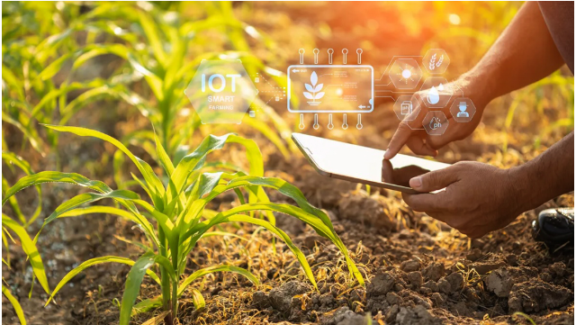
At the frontier of innovation, local researchers are beginning to combine satellite data with artificial intelligence and Internet of Things technologies. Platforms such as Agro AI integrate real-time sensor data from fields with satellite observations to create comprehensive monitoring systems. These systems can detect crop stress, predict yields and, even, recommend interventions. While still emerging, such technologies point to a future where farming decisions are increasingly automated and predictive rather than reactive.
Globally, the trend is clear: agriculture is becoming a geospatial science. Satellite crop monitoring allows for the analysis of vegetation health across vast areas using indices derived from spectral data. This enables early detection of problems — whether drought, disease or nutrient deficiency — often before they are visible to the human eye. For Bangladesh, where climate variability poses constant threats, such early warning systems are invaluable.
Yet, the adoption of space technology in agriculture is not without challenges. Access remains uneven, particularly among smallholder farmers who may lack digital literacy or reliable connectivity. The cost of scaling these technologies as well as the need for institutional capacity to interpret complex data remains a significant barrier. Moreover, integrating satellite data into local decision-making requires trust. Farmers must believe in the accuracy and relevance of information that comes from beyond their immediate experience.
Despite these constraints, the trajectory is unmistakable. The future of agriculture in Bangladesh is increasingly tied to the skies above. International initiatives such as NASA Harvest emphasise the importance of integrating satellite data into national agricultural strategies, highlighting the role of global collaboration in addressing food security challenges. As climate change intensifies and resource constraints deepen, such integration will become not just beneficial but essential.
For Bangladesh, the issue is no longer whether to adopt space technology in agriculture, but how quickly and inclusively it can do so. The country’s strength has always been its ability to adapt whether to floods, cyclones or shifting economic realities. Today, that adaptability is being redefined in digital and orbital terms. The farmer checking the mobile in the morning is not just receiving advice. The farmer is participating in a new agricultural paradigm where the distance between the soil and the satellite is shrinking, and where the future of farming is being written, quite literally, from space.
Dr Makhan Lal Dutta (makhan_dutta@hk-bd.org), an irrigation engineer, is chairman and chief executive officer of Harvesting Knowledge Consultancy.
https://www.newagebd.net/post/opinion/296877/reshaping-bangladeshs-agriculturePublished Date: April 16, 2026